Routes / Dike & lake
Reeds along the Amer
Published
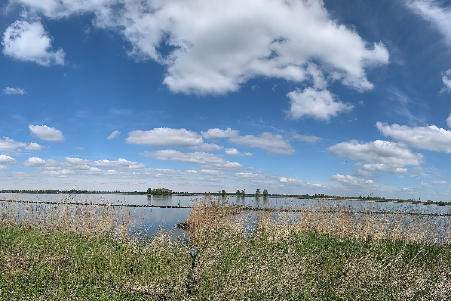
The Amer is officially a river, but here it is so wide that it feels like a lake, with the Biesbosch on the far side: a maze of creeks, willow woods and reeds that used to be tidal before the sea was dammed off.
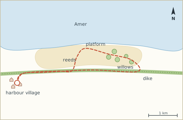
This side has a dike with a strip of reed and willow in front of it. The loop goes out along the dike, down into the reeds on a boardwalk and back along the water's edge, which is mostly quiet except for reed warblers that sound like somebody winding an old alarm clock. (My sister's description. It's accurate.)
On the day I went the reeds were still last year's, pale and dry, with the new green just starting at the bottom. Big clouds, sun, a cold wind off the water. It felt like the first proper spring day.
Sketch map
Directions
- From the harbour walk to the dike and turn right, keeping the water on your left. (0.5 km)
- Follow the dike top east past the last houses. (2.0 km)
- At the small wooden sign for the nature area (no text worth reading, just an arrow) go left down the ramp. (2.6 km)
- Follow the boardwalk into the reeds. It curls round to a little viewing platform over the water. (3.5 km)
- From the platform continue on the path along the shore, through willow scrub. (5.4 km)
- At the end of the willows, the path climbs back up to the dike. Turn left on top. (6.1 km)
- Return west along the dike, now higher, with the reeds below you. (8.9 km)
- Back down into the village and the harbour. (9.5 km)
Notes
Where to sit
The viewing platform in step 4 has a bench and is out of the wind. Best spot of the whole walk.
Boots
The shore path in step 5 can be soggy at the start of the season. Not bad, but not for white trainers.