Routes / Dunes & coast
A dune lake on a hot day
Published
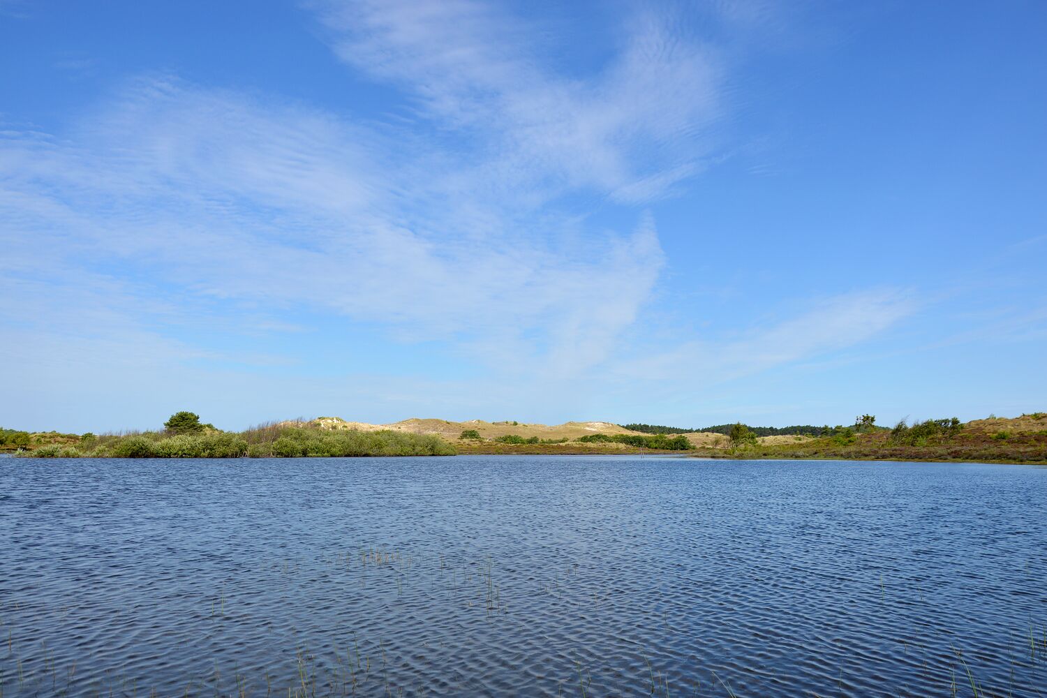
This is the short sister of my Schoorl walk, in the same dune area but further south. In the middle of the dunes there is a lake, fed by rain and groundwater, with no streams in or out. On a still day it's the bluest thing you will see in the province.
Swimming is not allowed (birds breed along the edges), so don't expect a beach, but the paths around it are quiet and there are good spots to sit and look.
I went on the hottest day of that July, very early. By ten the path was busy and the sand was too hot to touch. By then I was back at the car with a cold drink, feeling clever.
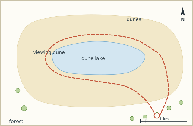
Sketch map
Directions
- From the car park take the forest track west, straight into the dunes. (0.9 km)
- At the fork, go right on the sandy path up over a low dune ridge. (1.7 km)
- Down the other side the lake appears. Follow the path along the south shore. (2.6 km)
- At the far west end, climb the small viewing dune for the view back over the water. (3.3 km)
- Return down and follow the path round the north side of the lake, a little higher up. (4.4 km)
- At the east end take the path north-east through birch and dune grass. (5.3 km)
- Turn right on the forest track and follow it back south to the car park. (7.0 km)
Notes
Heat
The dunes trap heat and there is little shade near the lake. Early or late, and more water than you think. For a dog too.
With kids
Short enough for small legs. The viewing dune in step 4 is a hit; the downhill run from it even more.